DRISHTI · CHAPTER 5.5
The Machines Go Dark, and Some Places Were Never Lit
Three-quarters of industrial fishing vessels do not appear on public tracking maps, and nearly 90% of the weather observations some countries need are missing. Both gaps were made by people.
EARTHVISION LAB · ~18 MIN READ
BLIND SPOTS WE MAKE
Not every Earth dataset comes from a sensor peering at an unwilling planet. Some of the most useful exist because the thing being tracked announces itself. Aircraft broadcast their identity and position, ships transmit Automatic Identification System messages, operators report production and governments publish registries.
The observation works because the subject cooperates.
Cooperative systems are extraordinarily efficient. A ship can report its identity, position, speed and heading far more cheaply than a satellite could infer them from an image, as Volume 3 noted when identity turned into data. The weakness is just as plain. A cooperative system measures participation as well as reality. A missing broadcast may mean a switched-off transmitter, poor reception, broken equipment, a legal exemption or a vessel that never carried one. The map of transmissions is not automatically the map of activity.
A second kind of human blind spot needs no deception at all. Instruments cost money to buy and much more to keep running, so the density of observation follows budgets, roads and institutions. Some parts of the planet go dark because a transmitter was switched off. Others were never lit in the first place.
GLOBAL FISHING WATCH
Satellite imagery found the fishing that public tracking did not
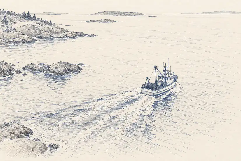
A 2024 Nature study led by Global Fishing Watch combined satellite radar and optical imagery with vessel broadcasts and deep-learning models to map industrial activity at sea between 2017 and 2021. Instead of asking only where tracked vessels went, the researchers first found vessels in the imagery and then asked whether each one matched a public track.
The blind spot turned out to be far larger than the public map suggested. The study estimated that 72 to 76% of the industrial fishing vessels detected in the mapped coastal waters were not publicly tracked. For other industrial vessels the unmatched share was lower but still substantial, around 21 to 30%.
Not publicly tracked does not mean illegal. Some vessels are not required to broadcast publicly, some are monitored under other regimes, and some gaps are technical, a distinction Global Fishing Watch is careful to make. The scientific result is about observability, not guilt.
The design is what matters. One source supplied tracks rich in identity and incomplete in coverage. Another supplied detections with no identity but complete physical independence. Matching them exposed the missing population. The blind spot became measurable only because a second observing system did not depend on the first one's cooperation.
AIS GAPS AND SPOOFING
Silence, and sometimes a confident lie
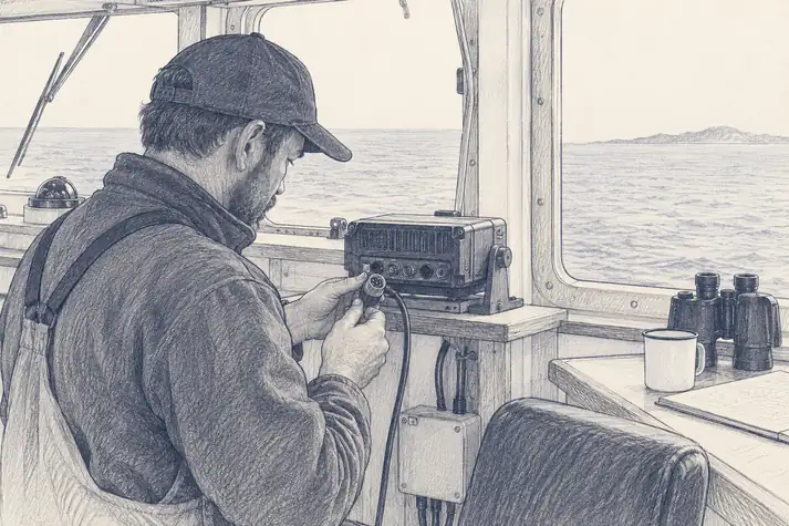
AIS gaps are easy to over-interpret. Satellite receivers do not catch every message, coverage varies, shore receivers need line of sight, busy waters cause messages to collide, and hardware fails. A six-hour silence can be suspicious in one place and entirely ordinary in another. Global Fishing Watch therefore estimates how often messages should have been received before classifying a gap as suspected deliberate disabling, separating naive gaps from those that survive filters for reception and other technical explanations. The absence of a message has to be modelled against the system that was supposed to hear it.
This is the absence problem of the intermittent methane plumes with a human actor added. A missing signal can now be caused by the observer, the environment, the transmitter or a decision, and the number of explanations grows exactly when an enforcement agency would prefer one. The sensible response is not to trust AIS less but to understand what it is: a cooperative safety and tracking system, not an omniscient record of every hull afloat. Its blind spots are part of its specification whether or not the map displays them.
Going dark is only one failure. A transmitter can stay on while broadcasting an identity or position that does not match the physical ship. Global Fishing Watch has documented tracks placing vessels in implausible locations, and radar images contradicting the broadcast position. This is a harder problem, because the database now contains confident-looking data rather than a gap. A missing track invites caution. A false one passes through downstream systems as though the vessel had been observed.
Identity can be corrupted too. Several vessels can broadcast the same Maritime Mobile Service Identity, names and flags change, and registries lag. The physical hull, the radio identity and the legal identity are related objects, not one guaranteed record. The strongest evidence again comes from independent sources disagreeing: the radio says a ship is here, and the radar says the sea is empty. A system that always resolves such conflicts into one clean track produces a prettier map and a weaker account of reality.
Shipping makes the problem visible because a hull is big enough to detect independently. The same gaps run through emissions inventories, groundwater pumping, land registries, industrial production and infrastructure telemetry, all of them precise about what enters them and silent about what never does. Independent sensing exposes some of that, and recovers presence more easily than context: a satellite can see a methane plume without knowing why it was released, radar can find a ship without learning its name, and night lights reveal activity without explaining it. The strongest arrangement uses both, cooperative data for identity and operational detail, independent observation to test whether the physical world agrees.
A system that knows only what the world reports is not observing the world. It is observing the reporting system.
DATA DESERTS
Weather forecasting has an explicit minimum, and many places miss it
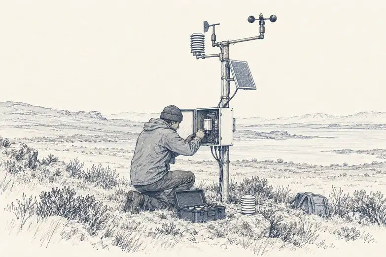
A global dataset can be global in extent and profoundly local in evidence. Weather stations cluster where agencies can build and maintain them. Ground truth follows places researchers can reach. Mountains, small islands, conflict zones, deserts, tropical forests and low-income countries are hard or expensive to instrument, and those same places often have conditions poorly represented anywhere else. A model trained or started from an uneven network inherits that geography before it makes its first prediction. The phrase data desert sounds as if nature made it. Usually institutions did.
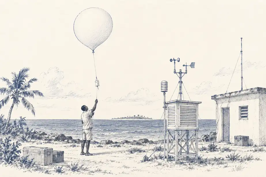
The World Meteorological Organization made the gap explicit by defining the Global Basic Observing Network, GBON, a minimum set of surface and upper-air observations that every country should collect and share, on the logic that weather prediction is global and one country's missing observations degrade forecasts beyond its borders. In July 2026 WMO reported that across 77 Least Developed Countries and Small Island Developing States, nearly 90% of the observations GBON requires were still missing. Some stations do not exist. Others exist and do not work, or report irregularly. Small islands have a geometry of their own: a few stations stand in for vast areas of ocean, exposed to salt, storms and expensive logistics. A weather balloon remains a simple idea attached to a supply chain.
Weather is one of the few fields that can measure what a desert costs. Forecast centres run observing-system experiments, removing or adding classes of observation, rerunning the assimilation and comparing the forecasts. WMO cites an ECMWF experiment estimating that closing essential gaps could cut forecast errors by about 30% in Africa and 20% in the Pacific. The benefit is not confined to the country operating the station. A radiosonde launched in Bhutan or Madagascar improves the starting state of a global model whose forecast later matters somewhere else entirely. The instrument has an address. Its information does not respect the border.
Satellites close many geographic gaps, especially over oceans and remote land, but they do not make the ground network redundant. Surface pressure, upper-air profiles, rain gauges and reference measurements calibrate and constrain what satellites observe differently or indirectly. That is why WMO created its Systematic Observations Financing Facility: buying an instrument once solves nothing. A network that works for eighteen months and then loses its maintenance budget is not climate infrastructure. It is a short experiment.
THE MISSING LAYER
Biodiversity has darkspots, and coverage is infrastructure
Biological data deserts are harder to define because there is no agreed spacing for biodiversity records. A region can be well sampled for birds and barely sampled for fungi, well mapped for forest cover and poorly inventoried for understory plants. The gap has a taxonomy as well as a geography. Kew's 2023 State of the World's Plants and Fungi identified 32 plant-diversity darkspots, places where major knowledge gaps coincide with high expected diversity. The idea is useful because it does not ask where there is no data. It asks where the mismatch between expected importance and available knowledge is largest.
Citizen science adds vast numbers of records, but participation follows people, roads, connectivity and interests. Museum collections inherit centuries of expedition routes. Molecular surveys need laboratories and reference libraries. A map of record density therefore contains the history of science as well as the distribution of species, and absence in a biodiversity database is especially dangerous to read literally. A species may be absent, undetected, undescribed, unsequenced, unreachable or simply of no interest to whoever sampled the area. The database has a blank cell. Biology offers several reasons for it.
Deserts persist when observing systems are treated as projects rather than infrastructure. A grant can deploy sensors. A long-term record needs maintenance, communications, quality control, metadata, calibration and an owner after the grant ends. The expensive part is rarely discovering how to measure a variable. It is continuing to measure it for decades. The same is true of ground truth for satellite and AI products: predictions can be generated everywhere while validation sites stay concentrated in a few countries and landscapes, so deployment expands faster than evidence.
A mature planetary system should therefore treat observation density, reporting reliability and validation coverage as first-class layers. Where are stations operating? Which variables do they measure? When did each last report? Where does a product lean mostly on interpolation? Which ecosystems have independent validation? Those questions belong beside the environmental values, not in a technical appendix nobody opens.
A global model can calculate everywhere. The observing network that keeps it honest still has addresses.